UN
63 Earl Road
£ 140,000
Description
We don't have a Description for this property.
- Bedrooms
- 3
- Bathrooms
- 0
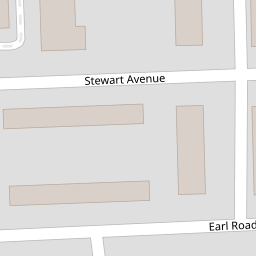
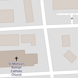

Leaflet © OpenStreetMap contributors
The heatmap indicates the level of crime in the area. The color of the heatmap indicates the crime severity and recency.
Metrics Year-on-Year
- Average area value
- 219,135.00 £Increased by 22.32 %
- Average area rental value
- 738.00 £/moIncreased by 26.15 %
- Est rental Yield
- 4.04 %Increased by 3.06 %
- Crime Rate
- 2.00 %Unchanged by 0.00 %
from 179,142.00 £
from 585.00 £/mo
from 3.92 %
from 2.00 %
Nearby Schools
| Name | Type | Ofsted | Distance |
|---|---|---|---|
| St Monica'S Catholic Primary School | Voluntary Aided School | Outstanding | 0.36 KM |
| Hillside High School | Academy Sponsor Led | Requires improvement | 0.68 KM |
| Bedford Primary School | Community School | Good | 0.81 KM |
| Christ Church Church Of England Controlled Primary School | Voluntary Controlled School | Good | 0.84 KM |
| Cambridge Nursery School | Local Authority Nursery School | Good | 0.92 KM |
Images
Nearby Streets
| Name | Average Price | Average Sqft | Distance |
|---|---|---|---|
| Fernhill Mews East | £ 250,000 | 0 | 0.00 KM |
| Essex Way | £ 0 | 0 | 0.00 KM |
| Taylors Close | £ 0 | 0 | 0.00 KM |
| Waterworks Street | £ 185,000 | 0 | 0.00 KM |
| Smith Drive | £ 145,000 | 0 | 0.00 KM |
Nearby Transport
| Name | NLC | TLC | Distance |
|---|---|---|---|
| Walton (Merseyside) | 2251 | WAO | 1.37 KM |
| Kirkdale | 2245 | KKD | 1.49 KM |
| Rice Lane | 2131 | RIL | 1.78 KM |
| Orrell Park | 2247 | OPK | 1.84 KM |
| Bootle New Strand | 2195 | BNW | 1.86 KM |
Nearby Listings
| Address | Price | Type | Score | Distance |
|---|---|---|---|---|
| Strafford Drive, Bootle | £ 249,950 | BUY | 5 / 10 | 0.09 KM |
| Radnor Drive, Bootle | £ 195,000 | BUY | 6 / 10 | 0.11 KM |
| Strafford Drive, Bootle, Merseyside, L20 | £ 180,000 | BUY | 5 / 10 | 0.13 KM |
| Summers Avenue, Bootle, Merseyside, L20 | £ 115,000 | BUY | 5 / 10 | 0.16 KM |
| Partington Avenue, Bootle, L20 | £ 120,000 | BUY | 5 / 10 | 0.16 KM |
Nearby Properties
| Address | Price | Distance |
|---|---|---|
| 63 Earl Road | £ 140,000 | 0.00 KM |
| 28 Strafford Drive | £ 230,000 | 0.10 KM |
| 18 Strafford Drive | £ 140,000 | 0.10 KM |
| 35 Webster Avenue | £ 70,000 | 0.11 KM |
| 5 Radnor Drive | £ 150,000 | 0.11 KM |